

Drone Photos of the Springs of Lily Cache Creek Development
The Springs of Lily Cache Creek apartment community is coming to life, and our drone photography captures its progress in ways that ground-level views simply cannot. From above, the unfolding story of this development is revealed through sweeping aerial perspectives that showcase the scale, planning, and natural setting of the community.
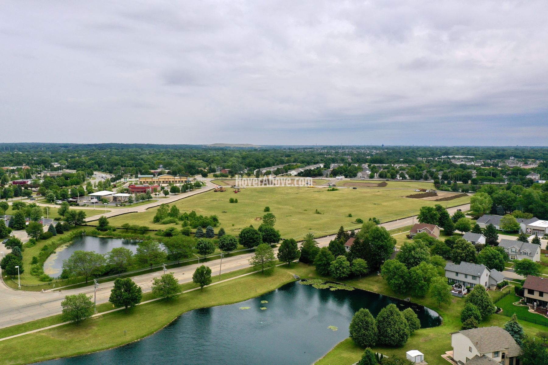
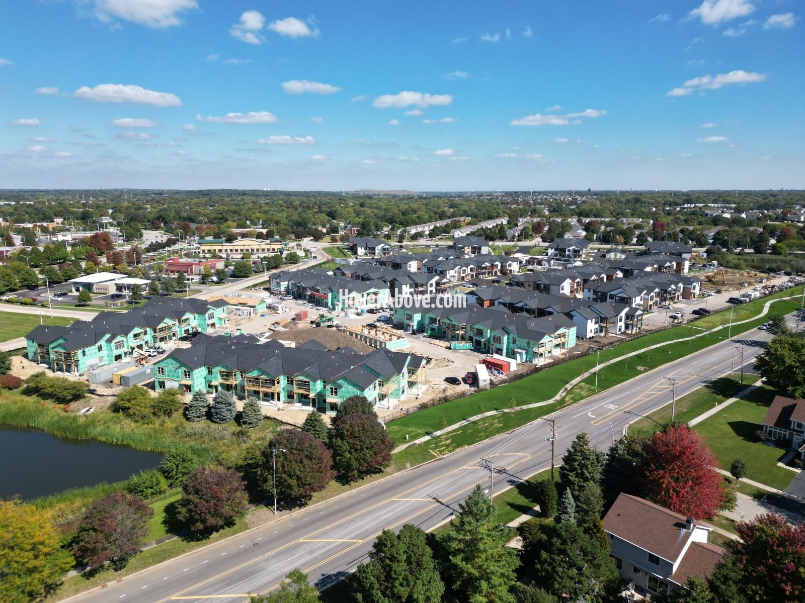
Our drone photos highlight every stage of construction, from the initial site preparation to the framework of new buildings and the emerging layout of roads, green spaces, and amenities. These images not only document progress but also illustrate the thoughtful design of the complex as it integrates into the surrounding landscape. Residents, investors, and community members can follow the transformation with clear, detailed visuals that track milestones along the way.
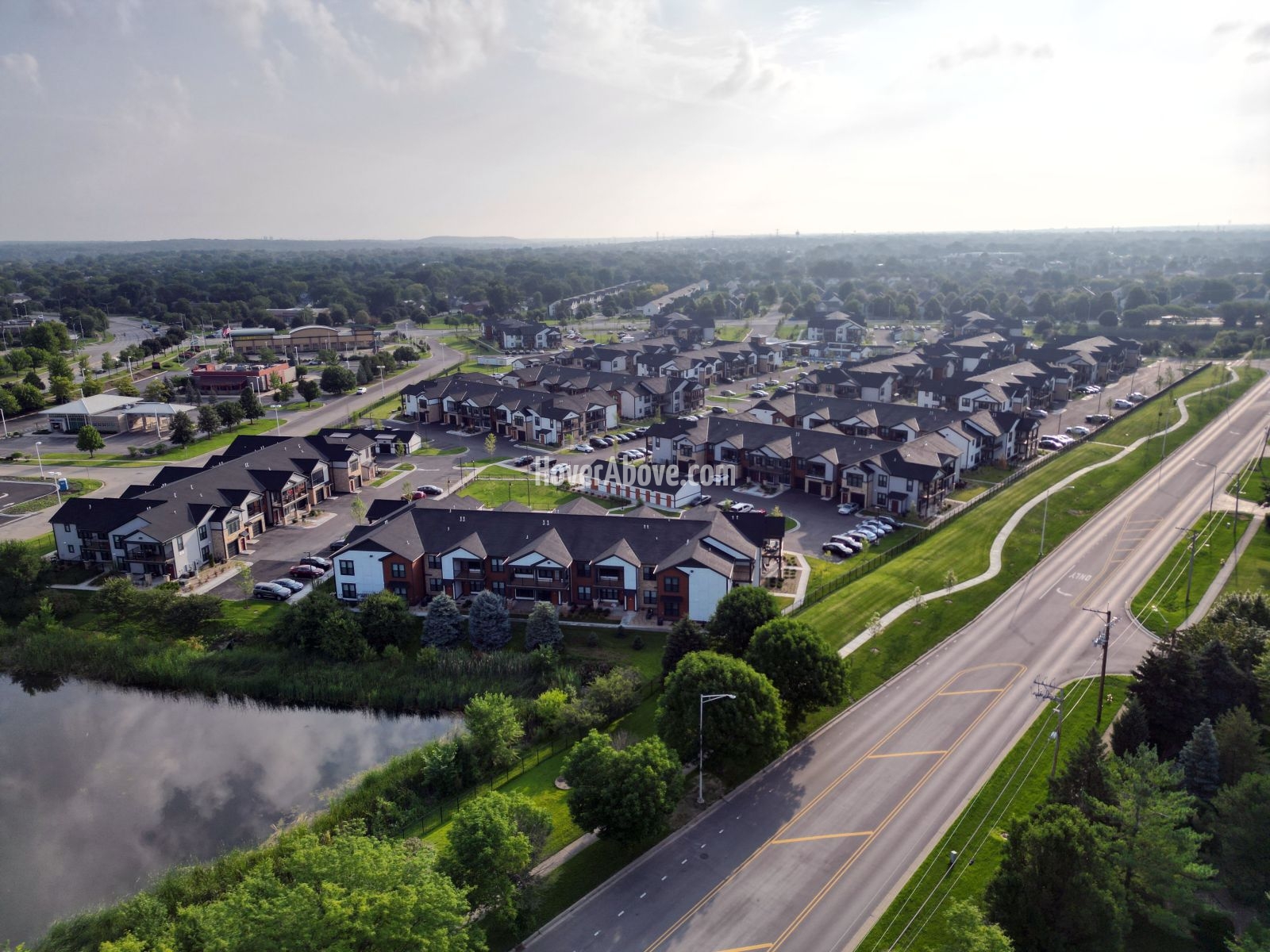
High-resolution aerial imagery allows for a comprehensive view of the development. It emphasizes how each structure connects to the overall plan, providing context that traditional photography cannot match. Whether it’s the symmetry of new apartment buildings, the placement of recreational areas, or the accessibility of roadways, drone photos deliver a complete and transparent record of advancement.
Beyond documentation, these images capture the excitement of growth. They show more than just construction; they present the vision of a new community taking shape. The Springs of Lily Cache Creek is more than an apartment complex—it is a future home for families and individuals, designed with comfort, convenience, and modern living in mind. Our drone photography ensures that stakeholders can witness this vision becoming reality in real time.
Through every aerial update, the Springs of Lily Cache Creek development is seen not just as a project, but as a vibrant new addition to the area, steadily rising into view.